Fact Friday 103 - The Business District Transformation Pt. 1
Happy Friday!
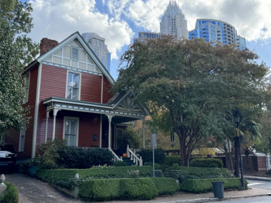
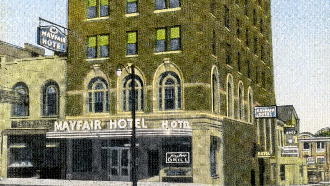
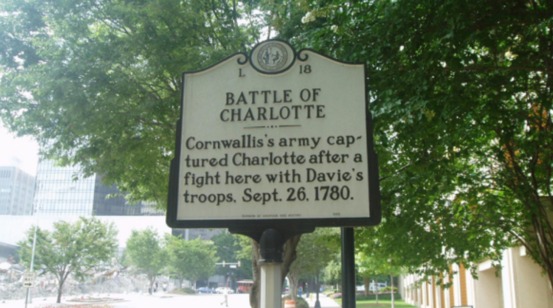
The history of Charlotte's Center City area is largely a story of what is no longer there. The grid of straight streets that lies within today's innermost expressway loop was the whole of Charlotte less than one hundred years ago. Today it contains a cluster of skyscrapers, three dozen residential blocks, and a vast area of vacant land with only scattered buildings. This essay will trace the Center City's development, then look at the significant pre-World War II structures remaining in each of the area's four wards.
The Center City has experienced three distinct development phases as Charlotte has grown from a village to a town to a major city. In the first phase, the area was the entire village. It was what geographers term a "walking city," arranged for easy pedestrian movement with the richest residents living the shortest walk to the commercial core. This era lasted from settlement in 1753 through the 1880s.
In 1891 the new electric trolley system transformed Charlotte into a "streetcar city" with new suburbs surrounding the old village. In the old Center City the commercial core expanded, clustered around the trolley crossroads at Independence Square. Residence continued to be important, and the area continued to grow in population, but now the wealthy moved outward to the suburbs and the middle class and poor moved inward.

In the 1930s and 1940s the automobile replaced the trolley as Charlotte's prime people mover, and the Center City changed again. Cars could go anywhere, and in the decades following the Second World War the old trolley crossroads diminished in importance. Commercial and office uses scattered to inexpensive suburban land. Public and private demolition in the 1960s and 1970s cleared almost all the houses and small stores in the name of "renewal." By the 1980s, half of Charlotte's residents never regularly visited the Center City.
The Center City's history begins with Trade and Tryon streets, the original Indian paths whose junction inspired the village's settlement. They became the Center City's main arteries, crossing at Independence Square near the center of the grid. The first one hundred acres of blocks around the square were laid out under the direction of Charlotte founder Thomas Polk in the 1760s. The blocks were nearly square, each about 400 feet long on a side. Polk's grid was set at an unusual 45-degree angle to the points of the compass to conform to the routes of the existing Indian trails.
By 1855, the original survey had been extended to approximately 220 blocks. They comprised all of today's grid, stretching from Smith Street to McDowell, then called East Boundary Street, in one direction and from Morehead Street through Twelfth in the other. Although all were mapped before the Civil War, it took decades before some streets were built, McDowell for instance not being graded until the turn of the century.
In the 1850s the village had become populous enough to split the grid into four sub-sections for election purposes. The city fathers drew boundary lines down the middle of Trade and Tryon streets, making each quadrant of the village a separate political "ward" with its own elected representative. Outer boundaries of these wards expanded as the city grew, until 1907 when a ring of seven new suburban wards was added around the first four. In 1945 Charlotte abandoned the ward system in favor of officials elected at large. Institutions like Second Ward High School and First Ward Elementary kept the old names alive in the Center City, however, and today Charlotte's original neighborhoods are still known as First, Second, Third and Fourth Wards.
Gray's New Map of Charlotte, published in 1882 near the end of the "walking city" era, gives a good picture of that first phase of development. It shows a village about a mile in diameter clustered around the Trade and Tryon crossroads. Beyond what are now Morehead, McDowell, Twelfth and Cedar streets there were farmers' fields, less than a ten minute walk from the Square.
At the center of the village was the commercial core of one and two story brick and frame stores. The commercial area extended only one block from the square in each direction along North and South Tryon streets and West Trade Street. On East Trade, stores stretched two blocks to the railroad tracks and also turned the corners onto North and South College streets a short distance. Downtown's bulge in this easterly direction reflected the great impact that the city's first railroad had on mid-nineteenth century Charlotte.

This track, serving the 1852 Charlotte and Columbia and the 1854 North Carolina State Railroad, ran north-south between College and Brevard streets. By the time the 1882 map was drawn, another line paralleled it on the other side of the commercial core. Built by the A. T. & O. and the Atlanta and Charlotte Air Line, this track ran between Graham and Cedar streets. The two parallel rail rights-of-way through the Center City crossed a third track at Thirteenth Street at the edge of the district, built for the Carolina Central. As years went by each of these lines was double tracked, and freight yards were built between Cedar and Graham and between Brevard and College.
Part 2 next week…
Until next week!
Chris.
Email me at chris@704shop.com if you have interesting Charlotte facts you’d like to share or just to provide feedback!
Information taken from:
The Center City: The Business District and the Original Four Wards; Dr. Thomas W. Hanchett
“We have to do with the past only as we can make it useful to the present and the future.” – Frederick Douglass


